Current Conditions
Auto-updates on page load · NOAA CPC ONI · ERSST v5
RONI: Official Index
—
NOAA CPC · tropical-mean adjusted
ONI: Historical Ref
—
traditional 3-month anomaly °C
Season
—
overlapping 3-mo period
6-Month Trend
—
change in RONI
Threshold Streak
—
seasons at ±0.5°C
ENSO Flavor
Eastern Pacific vs Central Pacific vs Basin-Wide vs Coastal
El Niño is not one thing. Eastern-Pacific (EP) events warm the far eastern Pacific and tend to produce stronger drought teleconnections. Central-Pacific (CP / Modoki) events warm near the dateline and have different global impacts. The Trans-Niño Index (TNI) captures the SST gradient between east and central Pacific.
ENSO Flavor
—
event classification
Trans-Niño Index
—
Niño 1+2 minus Niño 4 (normalized)
EP Signal
—
Niño 1+2 + Niño 3 avg
CP Signal
—
Niño 3.4 + Niño 4 avg
Niño Region Anomaly Comparison: Flavor Profile
Coupling Checklist
Is the ocean actually talking to the atmosphere?
Warm water alone is not a fully coupled El Niño. The Bjerknes feedback loop requires the atmosphere to respond: trade winds weaken, convection shifts east, Walker Circulation disrupts. All six conditions locking in together is what makes events like 1877 catastrophic.
MJO Assist
Madden-Julian Oscillation · RMM Index · BOM / NOAA PSL
The MJO is an eastward-traveling pulse of tropical rainfall and wind that circles the globe every 30–60 days. When its active phase sits over the Maritime Continent / western Pacific (roughly phases 5–7), it can fire off westerly wind bursts, short bursts of west wind that push warm water eastward and can kick off a downwelling Kelvin wave. That's one of the main ways El Niño gets a head start. The MJO doesn't cause El Niño on its own, but an active MJO in the right spot can load the dice.
RMM Phase
—
1–8 · convection location
Amplitude
—
≥1.0 = active MJO
MJO Status
—
active / weak / inactive
ENSO Assist
—
favors WWB / Kelvin wave?
RMM Phase Diagram: last 40 days
—
Source: BOM Wheeler-Hendon RMM index (real-time analogue of NOAA PSL OMI/ROMI) · Phases 5–7 = western Pacific / Maritime Continent convection, most relevant to ENSO · MJO forecast skill ~2–3 weeks, this is a current-conditions read, not a seasonal forecast.
Relative ONI (RONI)
NOAA CPC Official Index · Replaced ONI Feb 2026 · Tropical-mean adjusted
NOAA officially replaced the ONI with the RONI on February 1, 2026. RONI subtracts the average SST anomaly across the entire tropical belt (20°S–20°N) from the Niño 3.4 anomaly, then scales to match ONI variance. This removes background warming trends from climate change, making historical event comparisons more consistent. The ±0.5°C threshold still applies.
Current RONI
—
official NOAA CPC value (°C)
RONI vs ONI
—
difference (tropical mean removed)
RONI Status
—
official ENSO classification
Seasonal Context
—
normalized ONI (our calculation)
RONI Distribution: Current season vs. historical range
Computed from NOAA CPC ONI 1950–present · Seasonal std dev calculated across all years · Spring (FMA–MAM) has lowest variance = spring predictability barrier
Weekly SST Pulse
NOAA CPC · All 4 Niño regions · Updates every Monday
Niño 1+2 (E. Pacific)
—
weekly SSTA °C · coastal Peru
Niño 3 (E. Central)
—
weekly SSTA °C · 5°N–5°S 150°–90°W
Niño 3.4 ← Primary
—
weekly SSTA °C · ONI source region
Niño 4 (Central)
—
weekly SSTA °C · 5°N–5°S 160°E–150°W
Niño 1+2
Niño 3
Niño 3.4
Niño 4
Last 52 weeks · NOAA CPC OISST-based weekly SST anomalies · All four Niño monitoring regions · —
Atmospheric Coupling
SOI · Trade Winds · Walker Circulation · NOAA PSL
The Southern Oscillation Index (SOI) measures atmospheric coupling: the pressure difference between Tahiti and Darwin. Negative SOI confirms El Niño is forcing the atmosphere, not just warming the ocean. When both ONI and SOI align, the event is real.
30-Day SOI
—
negative = El Niño-like
SOI Trend
—
direction of change
Coupling Status
—
ocean + atmosphere agreement
Walker Circulation
—
inferred from SOI + ONI
SOI (monthly)
±0.5 threshold
Source: NOAA PSL SOI · Monthly · Negative = weakened Walker Circulation / El Niño-like · Positive = strengthened Walker / La Niña-like
Niño 3.4 SST Spaghetti Chart
Weekly Relative Anomaly · Every Year Since 1981 · NOAA CPC
Weekly relative Niño-3.4 SST anomaly (RONI methodology), every year since 1981 plotted as a thin grey line, current year and the 1997 / 2015 super-event analogs highlighted for comparison.
Latest Reading
Loading…
All years (1981–present)
1997
2015
Current year
Source: NOAA CPC Relative Weekly SST (rel_wksst9120.txt) · Auto-updates weekly (Mondays) · Relative anomaly = RONI-consistent
Subsurface Heat & SST Map
Equatorial Pacific · Ocean Recharge State
Heat Content Anomaly
WARM
0–300m equatorial Pacific
Recharge State
CHARGED
warm water volume vs. climatology
1877 Context
LARGE PRECURSOR
1877 had massive warm water buildup prior to peak
Bjerknes Feedback
—
self-reinforcing loop active?
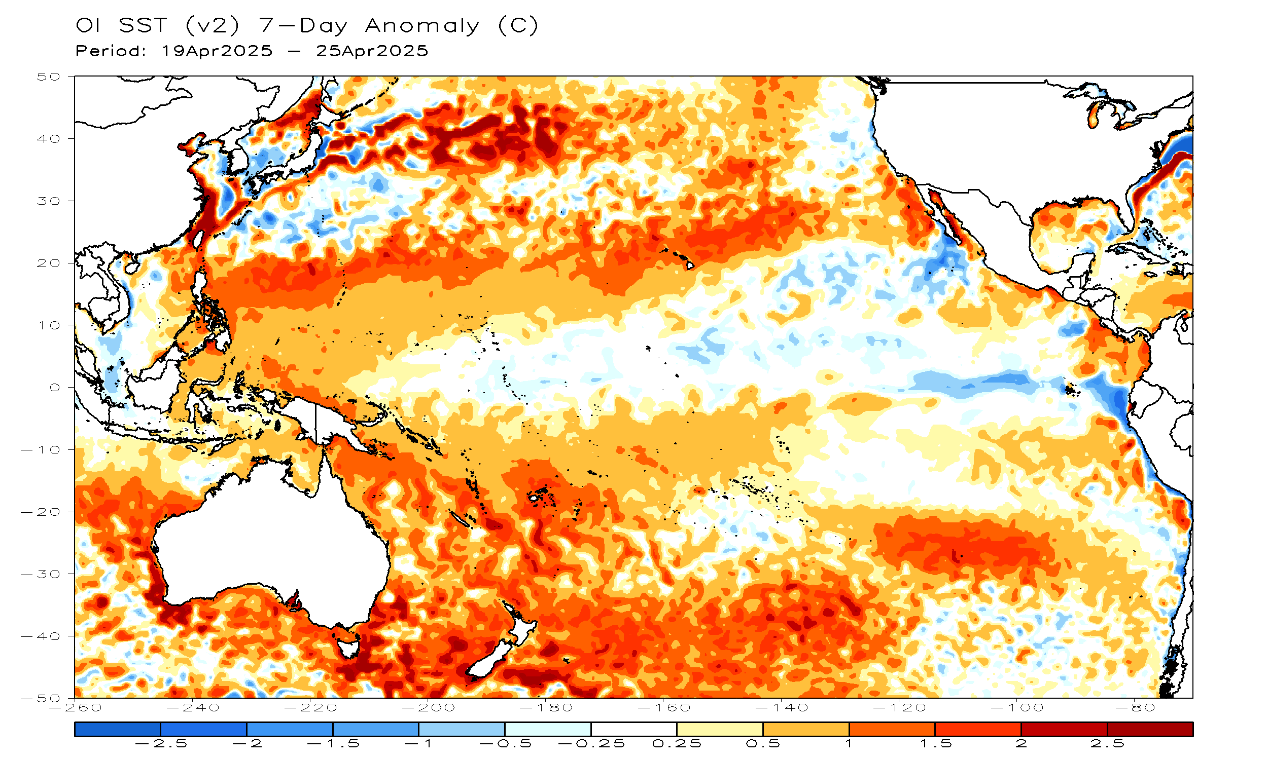
NOAA CPC · Pacific SST Anomaly · Updated weekly · Red = warmer than average · Blue = cooler than average
· Full NOAA ENSO page →
Global Impact Globe
Live SST anomalies · Historical teleconnection signals
Historical Event Comparison
2026 vs. Major El Niño Events, ONI Trajectory
Each event anchored to January of the onset year. The 1877–78 reconstruction uses ERSSTv5 ONI-style retrospective estimates (±0.5°C uncertainty). Modern events use operational NOAA ONI. The spring predictability barrier (boreal spring) limits forecast skill, events that survive April tend to peak strongly.
All Events
1877–78
1982–83
1997–98
2015–16
2026 Only
1877–78 (reconstructed)
1982–83
1997–98
2015–16
2026 (current)
Month 1 = January of onset year · 1877 solid line = ERSSTv5 reconstruction (~3.5°C peak) · 1877 dashed = possible true peak (~4.5°C) accounting for sparse 19th-century ship observations · Modern events use operational ONI · Huang et al. (2020): 1877 amplitude likely underestimated due to sparse data
📅1877–78
~3.5°C Peak (ERSSTv5 Niño-3)
The strongest pre-satellite El Niño on record. Coincided with record positive IOD and warm North Atlantic. Triggered the Great Famine of 1876–78, Grande Seca, and Northern Chinese Famine, 50M+ deaths globally.
Duration: ~18 months · Peak: Oct–Dec 1877 · Classification: Extreme
📅1982–83
Peak ONI: +2.1°C · Peak Niño-3.4 SST Anomaly: +4.1°C
The first "super" El Niño of the satellite era. Caught forecasters off guard, models failed to predict it. Severe drought in Australia, India, and Africa; catastrophic flooding in Peru and Ecuador.
Duration: 14 months · Peak: Oct 1982 · $13B damage (1983 dollars)
📅1997–98
Peak ONI: +2.4°C · Peak Niño-3.4 SST Anomaly: +4.56°C, Largest Modern Record
The strongest El Niño in the modern instrumental record by ONI. Rapid onset from spring, explosive growth through summer. Massive fires in Indonesia, drought across Africa and Asia, record flooding in California.
Duration: 13 months · Peak: Nov 1997 · ~$100B global damage
📅2015–16
Peak ONI: +2.6°C · Peak Niño-3.4 SST Anomaly: +4.45°C
The second strongest modern El Niño, nearly matching 1997–98. Record coral bleaching on the Great Barrier Reef. Severe drought across Eastern and Southern Africa. California received above-normal rainfall for the first time in years.
Duration: 15 months · Peak: Oct–Nov 2015 · Widespread global impacts
Ways the 1877 Analog Breaks
Scientific honesty, what would falsify this comparison?
The 1877 analog is historically interesting, not deterministic forecasting. These conditions would break the comparison:
⚠ Westerly Wind Bursts Stop
If WWBs cease and trade winds reassert, the Bjerknes feedback loop breaks. The Pacific can revert to neutral without the atmospheric coupling that made 1877 extreme.
⚠ Subsurface Heat Discharges Early
If the warm water volume discharges before peak season, the fuel for intensification is gone. The 2014 event stalled exactly this way, a strong easterly wind burst in June discharged the heat reservoir.
⚠ Niño 1+2 Cools, Niño 4 Dominates
If warming shifts from eastern to central Pacific, the flavor becomes CP/Modoki, a fundamentally different event with weaker and different teleconnections. 1877 was strongly EP-flavored.
⚠ SOI Fails to Hold Negative
If the SOI returns to positive or neutral, the Walker Circulation has not broken down. Ocean warming without atmospheric coupling is not a fully-coupled El Niño, and 1877's devastation required full coupling.
⚠ IOD Remains Neutral or Negative
The 1877 event was amplified by a record-strong positive IOD and warm North Atlantic. If the IOD stays neutral or goes negative, a key amplifier of the historical drought teleconnections is absent.
⚠ Model Spread Widens After Peak
If the IRI/CPC model ensemble diverges significantly, high spread, low agreement on amplitude, forecast confidence drops. Current 97–98% probabilities assume model agreement holds through 2026.
CONFIDENCE BADGE: HOBBYIST ANALOG ·
1877 reconstruction: ERSSTv5 ±0.5°C uncertainty ·
This comparison is historically interesting, not operational forecasting ·
Singh et al. (2018) · Huang et al. (2020)
Event Log
Threshold crossings recorded this session
—No threshold events recorded yet this session. Events are logged when ONI crosses key levels.
1877–78 Analog Score
How close are we to the Niño of all Niños?
Weighted hobbyist approximation comparing current ENSO state to the 1877–78 event. Not an operational NOAA product. Historical values from ERSSTv5 reconstruction, treat as probabilistic, not definitive. Huang et al. (2020) notes ±0.5°C uncertainty on 1877 peak.
1877-Style Analog Score
—
Calculating…
1877 PEAK REF
~+3.5°C
ERSSTv5 Niño-3
ONI vs. 1877 Trajectory
Current event overlaid on the 1877–78 analog (Jan = event year start)
1877–78 (reconstructed)
Current event
±0.5°C uncertainty
1877 values: ERSSTv5 ONI-style retrospective reconstruction. Dashed = current. Shaded = ±0.5°C cross-dataset spread.
El Niño ≥+0.5°C
La Niña ≤−0.5°C
Neutral
Drought Risk Tracker
ONI teleconnection model + CHIRPS observed rainfall · ClimateSERV / NASA SERVIR
Two data sources combined: Model Risk (ONI teleconnection, how much drought this ONI level typically causes) and CHIRPS Observed (actual satellite + station rainfall anomaly in mm vs. 1981–2010 climatology, via ClimateSERV/NASA SERVIR). CHIRPS data has a ~45-day lag. The 1876–79 bars show historical peak severity for reference.
What Happened Last Time
1876–79 documented ground-level impacts
🇮🇳South & Central India
Catastrophic Monsoon Failure
Indian Summer Monsoon failed across the Deccan Plateau and spread northward. Total crop failure in many districts over two consecutive years.
Great Famine 1876–78 · 5.6–9.6M deaths · Madras, Bombay, Mysore, Hyderabad
🇨🇳Northern China
Multi-Year Drought & Crop Collapse
Shanxi, Henan, Shaanxi, Zhili, and Shandong suffered devastating rainfall deficits. Known as the "Incredible Famine."
Northern Chinese Famine 1876–79 · 9–13M deaths · North China Plain
🇧🇷Northeast Brazil
Grande Seca, The Great Drought
Complete rainy season failure across the Nordeste. Rivers dried entirely. The Sertão interior became uninhabitable for millions.
Grande Seca · 500K–1M deaths · Ceará, Pernambuco, Piauí, Paraíba
🌍Sub-Saharan & East Africa
Widespread Rainfall Deficits
Drought across Ethiopia, Egypt, and the Sahel. Livestock losses and crop failures compounded colonial-era food insecurity.
Concurrent famines across East Africa · Estimates uncertain · Ethiopia, Egypt, Sahel
🇦🇺Australia
Severe Inland Drought
Eastern and interior Australia experienced significant rainfall deficits. Pastoral industries suffered heavy livestock losses across Queensland and NSW.
Significant agricultural losses · Queensland, NSW, Victoria
🇺🇸North America
Year Without a Winter
Exceptionally mild winter 1877–78. El Niño typically brings warmer, drier winters to the northern US and wetter conditions to the Gulf Coast and California.
No major mortality · "Year Without a Winter" · Northern U.S. and Canada
🌊Peru & Ecuador Coast
Extreme Coastal Flooding
El Niño's home turf, extreme coastal SST warming, heavy rainfall, flooding of normally arid coastal deserts, and fishery collapse.
Severe coastal flooding · Fishery collapse · Niño 1+2 region
🌐Indonesia & SE Asia
Monsoon Suppression & Drought
Convection shifts east, suppressing rainfall over the Maritime Continent. Wildfire risk rises dramatically across Indonesia and the Philippines.
Severe drought across Indonesia & Philippines · Widespread crop failures
El Niño Forecast
IRI/CPC · 9-Season Probability Outlook · Updated Monthly
Peak El Niño Probability
98%
MJJ 2026
The equatorial Pacific is rapidly transitioning into El Niño. Weekly Niño 3.4 has surged to +0.9°C. IRI assigns 97–98% El Niño probability through end of 2026, one of the most confident forecasts on record.
Forecast Issued
May 19, 2026
Source
CCSR/IRI ENSO Plume
1877 Context
1877 peaked at ~3.5°C ONI. Current trajectory bears watching.
El Niño probability
Neutral probability
La Niña probability
Source: IRI/CPC ENSO Probability Forecast · May 2026 · Bars sum to 100% per season ·
IRI Quick Look →
Seasonal ONI Table
Last 10 years · °C anomaly
Loading…